
File:Tamiasciurus douglasii 6021.JPG

Size of this preview: 800 × 533 pixels. Other resolutions: 320 × 213 pixels | 640 × 427 pixels | 1,024 × 683 pixels | 1,280 × 853 pixels | 2,560 × 1,707 pixels | 4,272 × 2,848 pixels.
Original file (4,272 × 2,848 pixels, file size: 5.36 MB, MIME type: image/jpeg)
| This is a file from the Wikimedia Commons. Information from its description page there is shown below. Commons is a freely licensed media file repository. You can help. |
Summary
| Description |
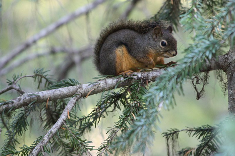
Tamiasciurus douglasii English: Douglas Squirrel on a Pacific Silver Fir (Abies amabilis) branch |
| Date | 22 October 2008, 16:57:06 −07:00 |
| Source | Own work |
| Author | Walter Siegmund (talk) |
| Other versions | Derivative works of this file: Tamiasciurus douglasii 6021t.JPG |
| Camera location | | View this and other nearby images on: OpenStreetMap |
|---|
- Location source: Garmin GPSmap 60CSx
- Location Datum: WGS84
- Viewpoint location: Crystal Lakes Trail, Mount Rainier National Park
- Viewpoint elevation: 1426 meter (4678 ft)
- Camera: Canon EOS DIGITAL REBEL XSi
- Exposure Time: 1/13
- F Number: f/5.6
- Focal Length: 300.0
- ISO Speed Rating: 1600
©2009 Walter Siegmund
Licensing
I, the copyright holder of this work, hereby publish it under the following licenses:

|
Permission is granted to copy, distribute and/or modify this document under the terms of the GNU Free Documentation License, Version 1.2 or any later version published by the Free Software Foundation; with no Invariant Sections, no Front-Cover Texts, and no Back-Cover Texts. A copy of the license is included in the section entitled GNU Free Documentation License. |
This file is licensed under the Creative Commons Attribution-Share Alike 3.0 Unported, 2.5 Generic, 2.0 Generic and 1.0 Generic license.
- You are free:
- to share – to copy, distribute and transmit the work
- to remix – to adapt the work
- Under the following conditions:
- attribution – You must give appropriate credit, provide a link to the license, and indicate if changes were made. You may do so in any reasonable manner, but not in any way that suggests the licensor endorses you or your use.
- share alike – If you remix, transform, or build upon the material, you must distribute your contributions under the same or compatible license as the original.
You may select the license of your choice.
File history
Click on a date/time to view the file as it appeared at that time.
| Date/Time | Thumbnail | Dimensions | User | Comment | |
|---|---|---|---|---|---|
| current | 05:00, 12 March 2009 | | 4,272 × 2,848 (5.36 MB) | Wsiegmund | {{Information |Description=Mount Rainier National Park |Source=Own work |Date=2008:10:22 |Author=Walter Siegmund (talk) |Permission= |other_versions= }} [[Category:Mount Rainier National Par |
File usage
No pages on the English Wikipedia use this file (pages on other projects are not listed).
Global file usage
The following other wikis use this file:
- Usage on et.wikipedia.org
- Usage on he.wikipedia.org
- Usage on uk.wikipedia.org